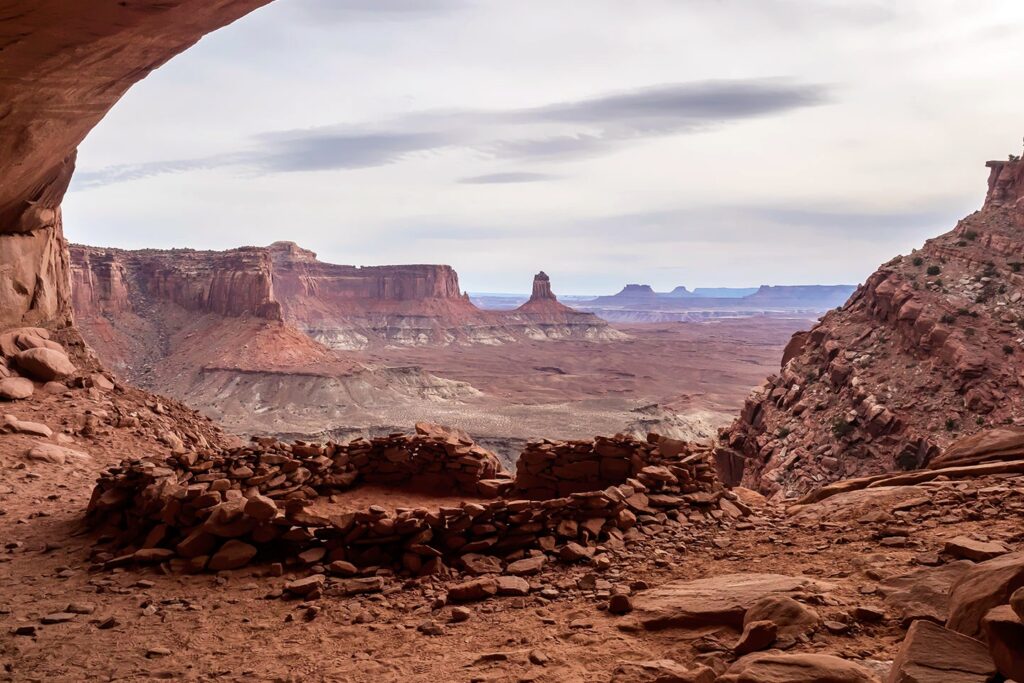
Canyonlands National Park is a mesmerizing landscape of rugged canyons, towering mesas, and winding rivers. Covering over 337,000 acres of wilderness, the park is divided into four distinct districts, each offering its own unique geological formations and breathtaking vistas. From the sheer cliffs of Island in the Sky to the labyrinthine canyons of the Maze, Canyonlands presents a playground of exploration and adventure. Hiking, backpacking, four-wheel driving, and river rafting are just a few of the activities that allow you to immerse yourself in this stunning wilderness. Canyonlands National Park stands as a testament to the power and beauty of nature, inviting all who visit to discover its secrets and marvel at its wonders.
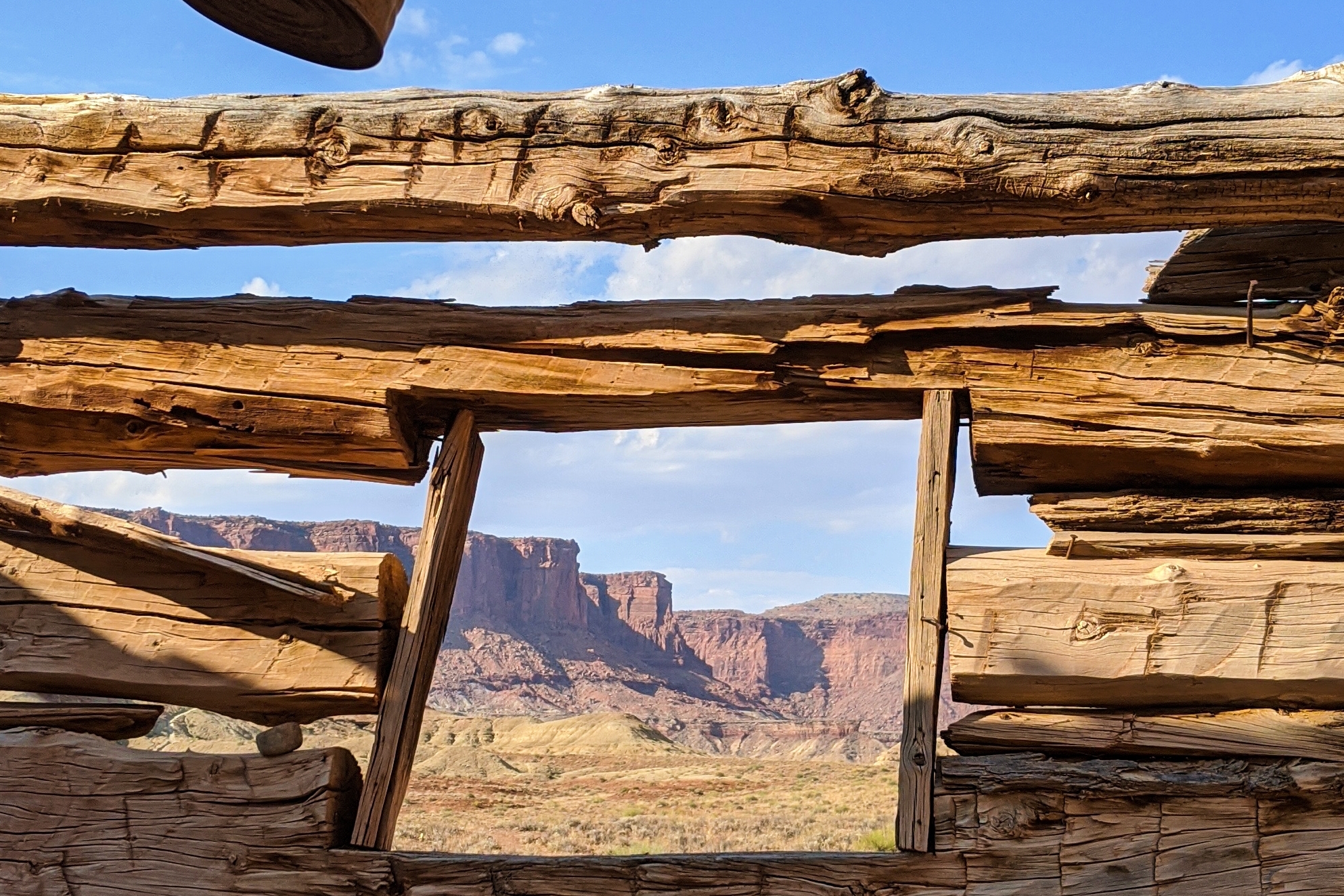
Fun Facts about Canyonlands National Park
- Canyonlands National Park was established on September 12, 1964, by Congress through legislation signed into law by President Lyndon B. Johnson.
- Canyonlands National Park covers a vast area of over 337,598 acres (about 527 square miles) in southeastern Utah, making it the largest national park in the state.
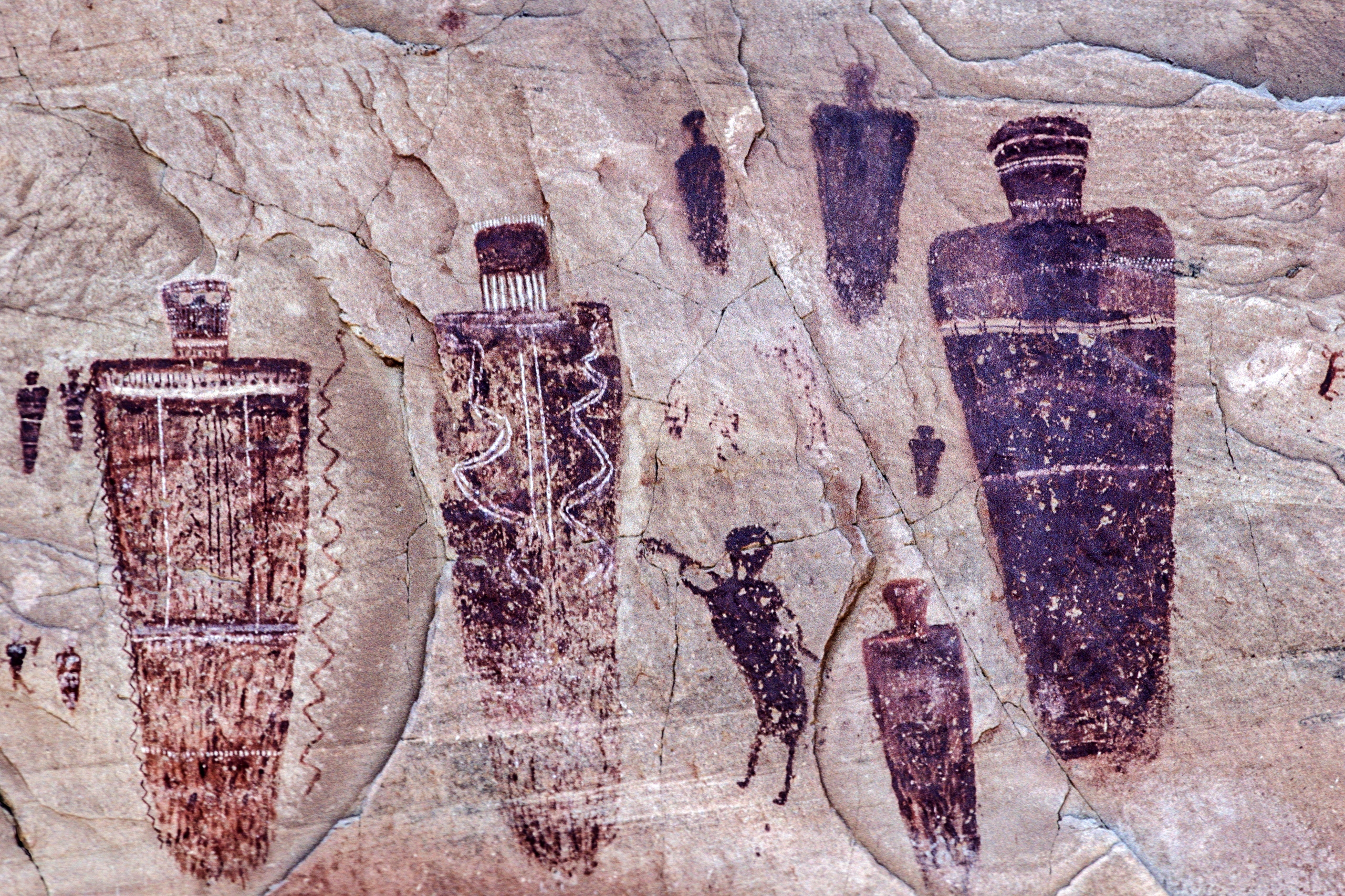
- Canyonlands has a rich cultural history, with evidence of human habitation dating back hundreds to thousands of years. The ancestral Puebloans, also known as the Anasazi, inhabited the region and left behind rock art, dwellings, and other archaeological sites.
- One of the most iconic features of Canyonlands is the confluence of the Green and Colorado Rivers. This meeting point creates a striking landscape known as The Confluence Overlook, offering panoramic views of the rivers carving through the canyons.
- The Maze District, located in the western part of the park, is one of the most remote and rugged areas in the United States. It’s a challenging environment to navigate and requires careful planning and preparation for those venturing into this wilderness.
- Canyonlands has served as a filming location for several movies and television shows, including scenes from “Thelma & Louise” and “127 Hours.” Its dramatic landscapes have attracted filmmakers seeking to capture the park’s unique beauty.
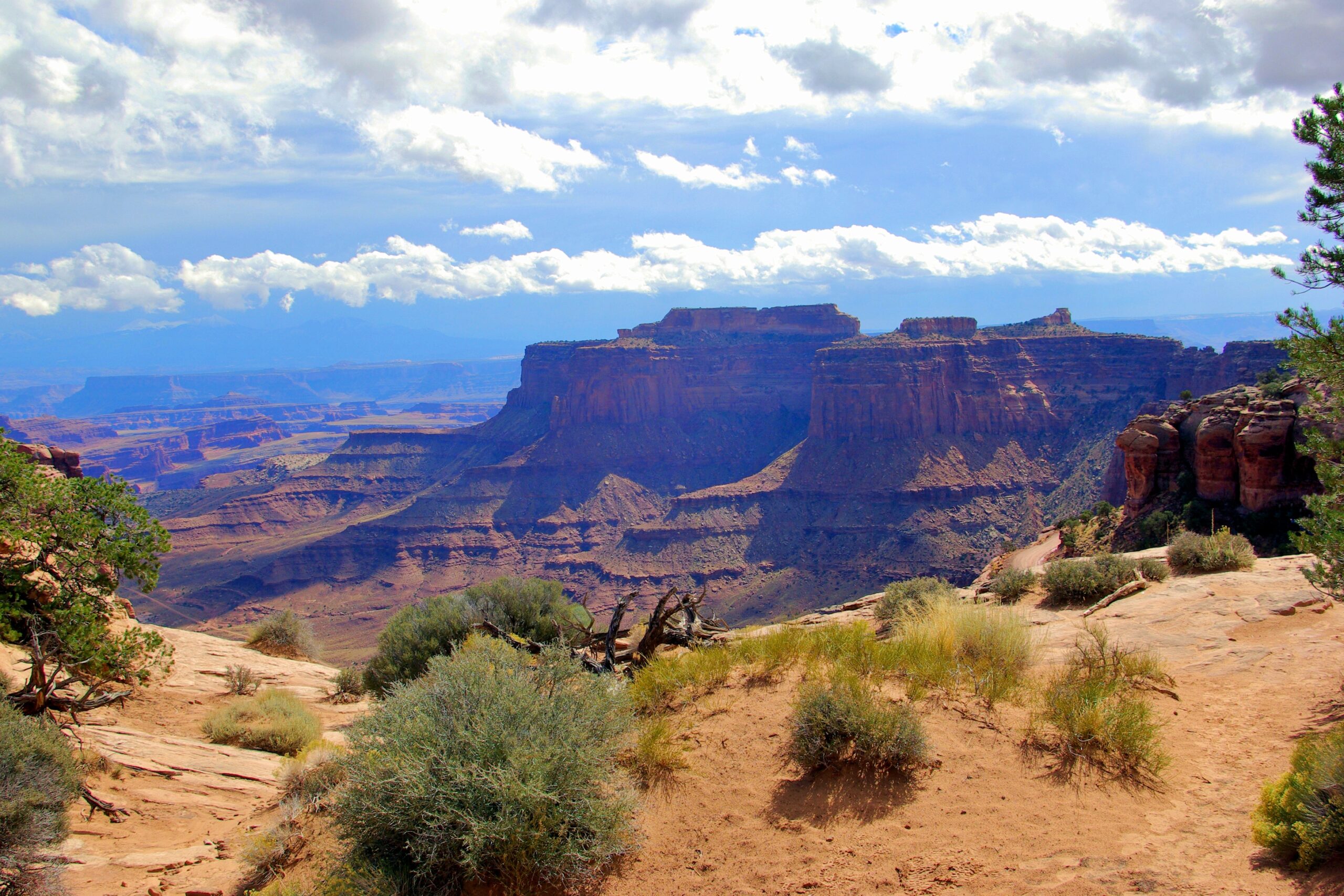
A Quick Look at National Park Canyonlands National Park
- Best time of year to visit. The best time to visit Canyonlands National Park is during the spring and fall shoulder seasons when the weather is mild, and crowds are fewer.
- How long to stay. To get a relatively full experience in the park, you should stay 2 to 4 days. This allows time to explore its diverse districts, scenic viewpoints, and hiking trails.
- How to get there. The closest airport to the park is Grand Junction Regional Airport (GJT). The park has two main entrances: one for the Island in the Sky district and another for the Needles district.
- Places to stay. The park does not have any lodging facilities within the park boundaries, but the nearby town of Moab offers a wide range of accommodations. However, there are three campgrounds in the park, including Island in the Sky Campground, Willow Flat Campground, Squaw Flat Campground.
Things to Know Before Hiking in Canyonlands National Park
- Canyonlands National Park has bears. This park is known to have black bears that wander in from the Abajo Mountains that boarder the Needles district. Carrying bear spray is highly recommended when hiking or staying in any areas that are homes to potentially dangerous wildlife. Bear spray is a specialized type of pepper spray that is proven to be effective in deterring aggressive wildlife in the event of close encounters.
- Cell phone reception is limited in most of the park. Before you head to the park, I highly recommend that you download and have offline copies of any reservation details, directions, or permits.
- Have offline access to hiking trails maps Make sure you have downloaded versions of any trail that you plan on hiking. If you don’t have a fancy GPS with tracking and messaging, you should download the AllTrails app and upgrade to AllTrails+ for $35.99 a year. This upgrade lets you download topographical, satellite, and other varieties of offline trails, shows you where you are, how far you have gone, and how much longer you must go, as well as your elevation gain, speed, and estimated burned calories. I use it for every non-overnight hike that I do.
- Pack essential items and proper clothing. Some very basic, but essential items that should always be carried while hiking include a navigation system, a flashlight or headlamp, sun protection, a first aid kit, insect repellent, a knife, matches, a lighter, or a fire started, extra food and water beyond the minimum expectation, and extra clothes such as a rain jacket, wind breaker, and warmer layers. Some of these items may feel unnecessary at first glance but it is better to have something and not need it, than to need it and not have it.
- Canyonlands National Park charges an entry fee. These fees usually cost $35 and grant you a week of additional access to over 425 sites that are also run by the National Park Service. If you plan on visiting three or more parks within a year, then I recommend you purchase the America the Beautiful annual pass. This pass will make entering parks a bit quicker, much easier, and provides you with access to the same number of parks that the week-long pass does, but for an entire year.
Eight of the Best Hikes in Canyonlands National Park
1. Green River Overlook
- Length: 0.2 miles
- Elevation gain: 6 feet
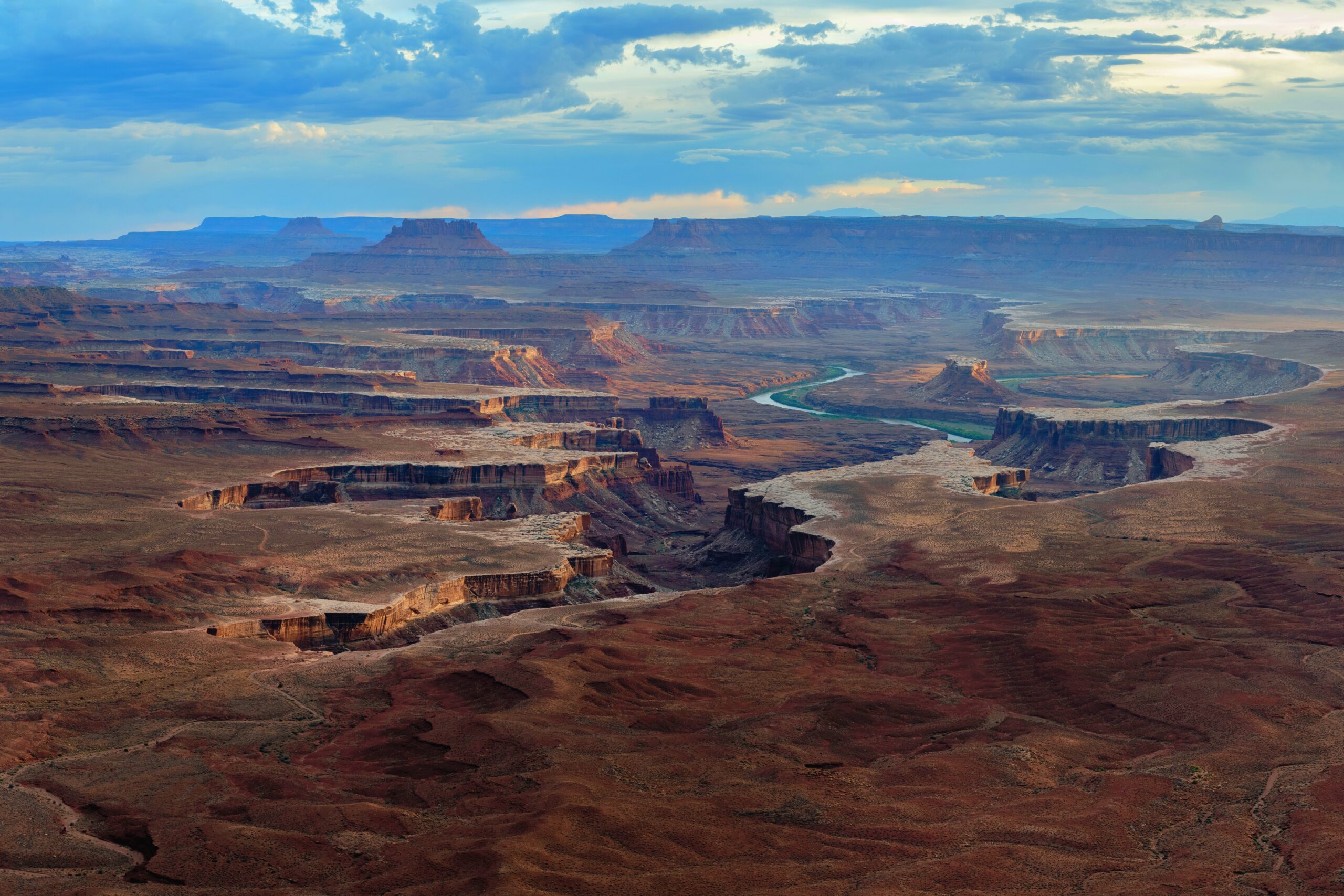
The Green River Overlook offers a breathtaking panorama of the Green River as it carves its way through the deep canyons below. Located at the top of sheer cliffs, you are treated to sweeping views of rugged terrain, vibrant colors, and dramatic geological formations, making it a must-see destination for anyone exploring the park. The Green River Overlook is a prime spot for witnessing nature’s spectacular display.
2. Pothole Point Trail
- Length: 0.6 miles
- Elevation gain: 39 feet
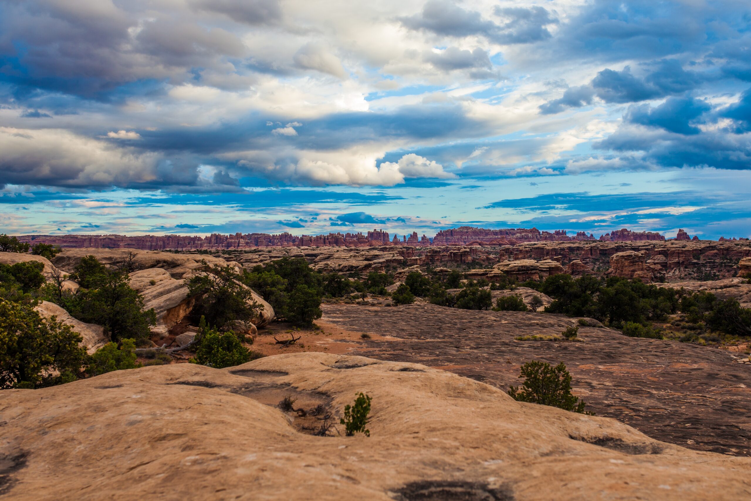
The Pothole Point Trail is a unique hiking experience through a landscape dotted with fascinating geological features. As you traverse the trail, you encounter numerous potholes carved into the slickrock surface, each filled with rainwater and hosting a microcosm of life. With stunning views of the surrounding canyons and mesas, this short but rewarding hike provides an opportunity to marvel at the intricate beauty of desert ecosystems and the forces that shape them.
3. Mesa Arch Trail
- Length: 0.7 miles
- Elevation gain: 88 feet
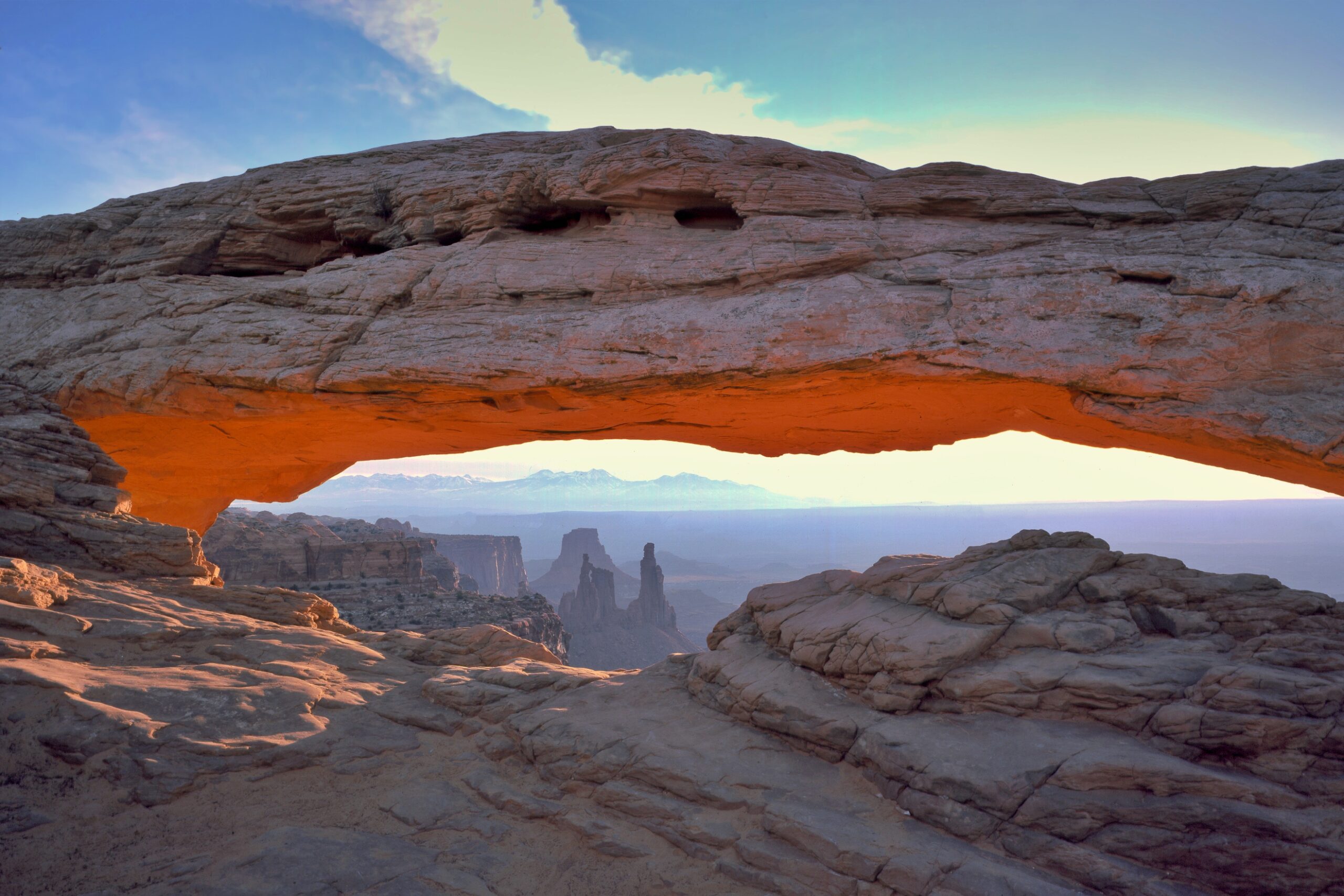
The Mesa Arch Trail leads you on a short but unforgettable journey to one of the park’s most iconic landmarks. As you approach the arch, you are greeted by an arch that perfectly frames the vast expanse of the canyon below, creating a breathtaking view. Especially captivating during sunrise, the Mesa Arch Trail offers an experience where the morning light paints the landscape with warm hues, illuminating the beauty of the surrounding terrain.
4. Fort Bottom Ruin Trail
- Length: 3.4 miles
- Elevation gain: 557 feet
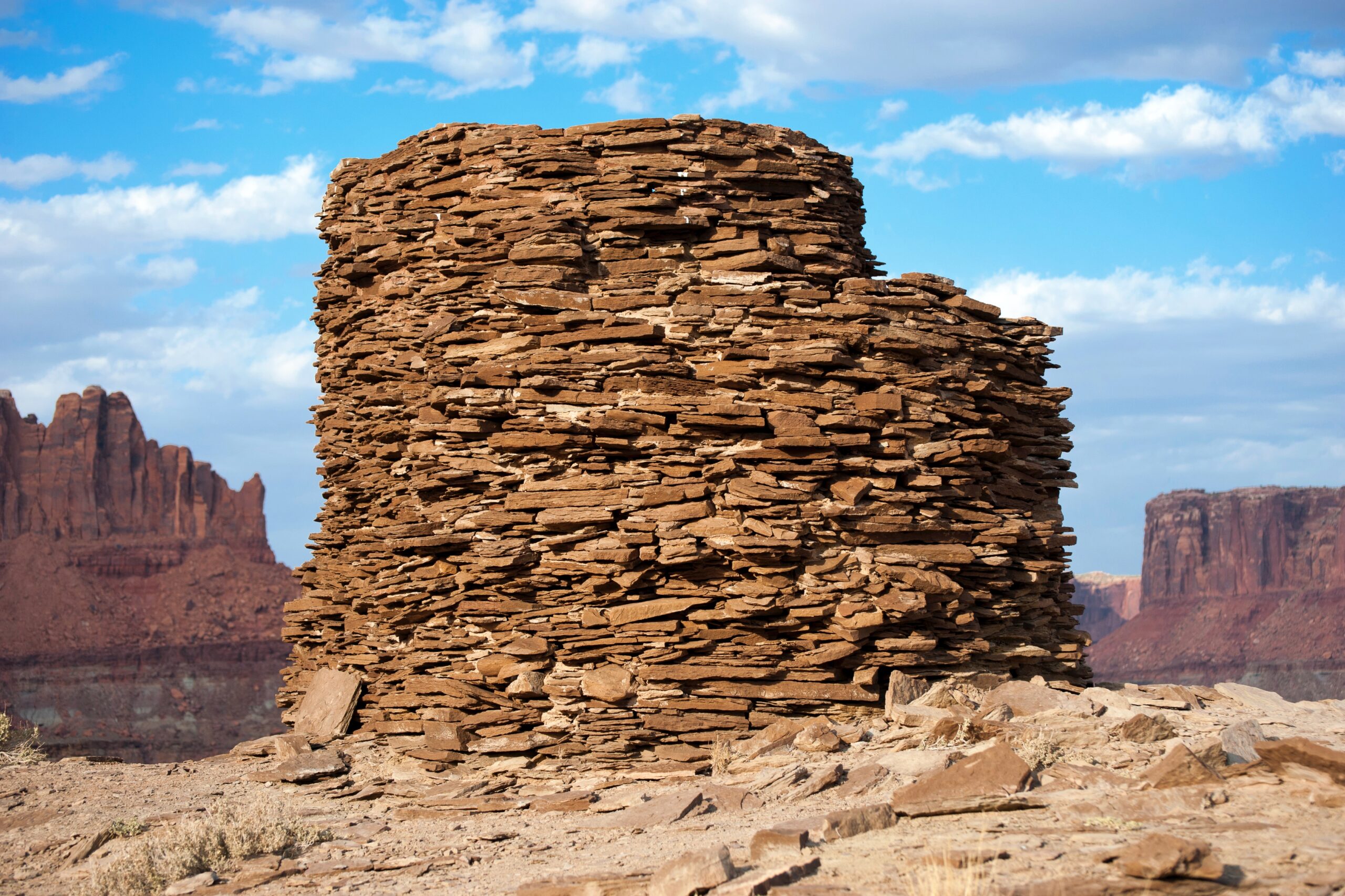
The trail to Fort Bottom Ruin winds through rugged terrain, leading to an ancient Ancestral Puebloan site nestled along the banks of the Green River. As you traverse the trail, you encounter remnants of ancient dwellings and granaries, offering a glimpse into the lives of the people who once called this place home. With sweeping views of the river and surrounding canyonlands, this trail provides a fascinating journey through both natural beauty and human history.
5. Spanish Bottom to Dollhouse Granaries
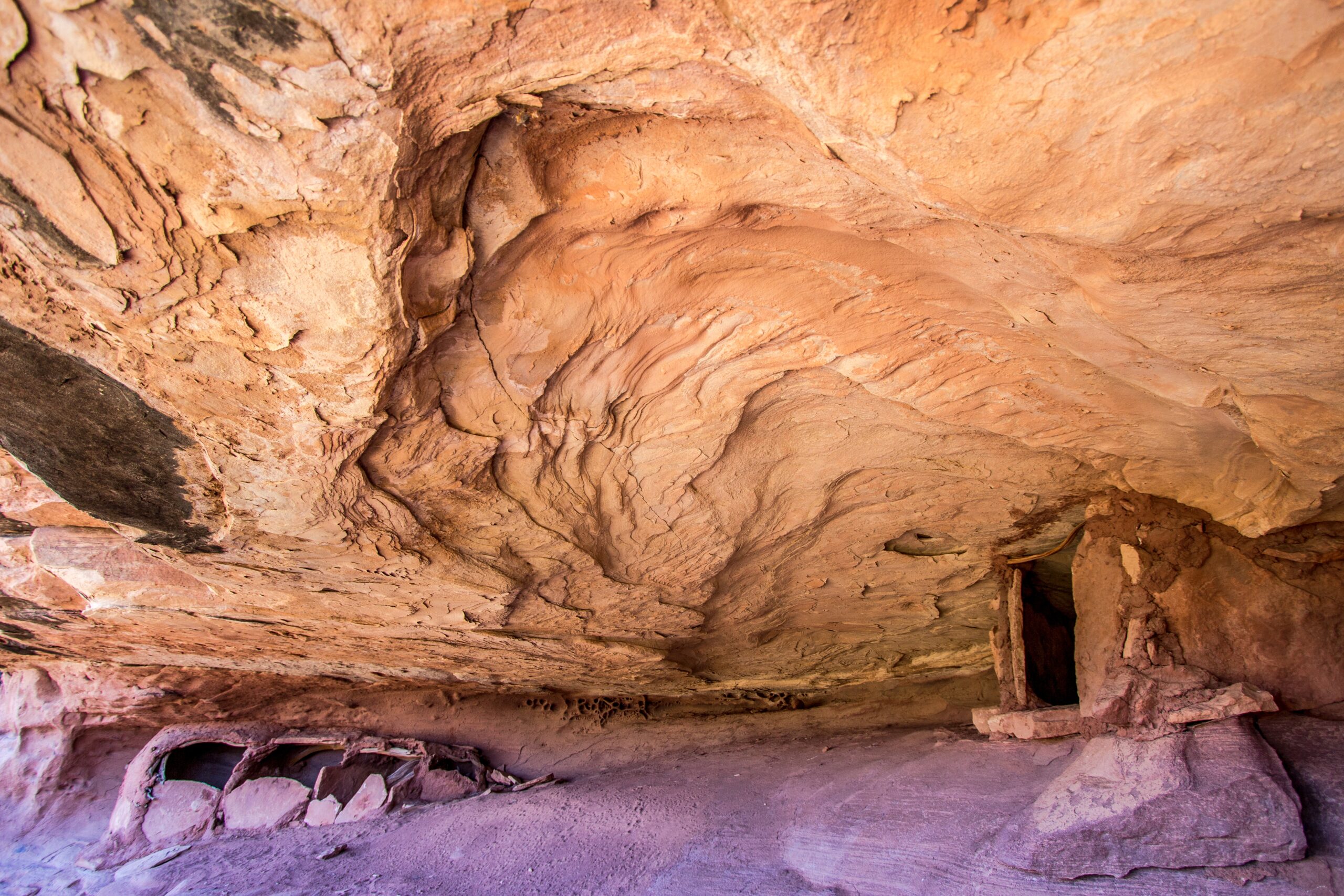
- Length: 2.8 miles
- Elevation gain: 1,299 feet
The trek from Spanish Bottom to the Dollhouse Granaries presents an extraordinary adventure through remote wilderness and ancient history. You navigate the rugged terrain of the Green River canyon, passing towering sandstone cliffs and glimpsing the remnants of ancestral Puebloan dwellings along the way. The journey ends at the Dollhouse, where you are rewarded with panoramic views of the surrounding landscape and the opportunity to see the remarkably preserved granaries high on the canyon walls.
6. Chesler Park Viewpoint
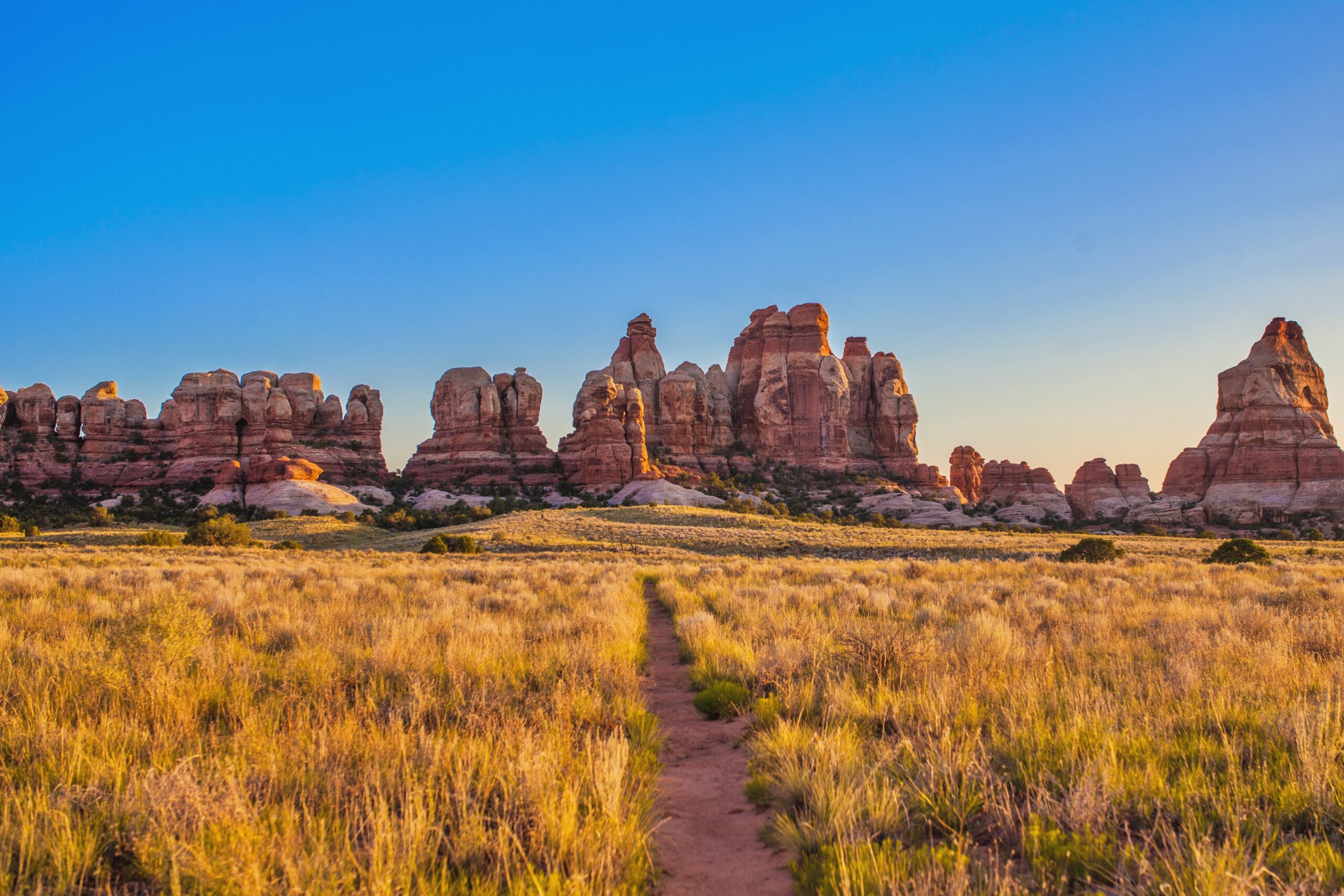
- Length: 5.4 miles
- Elevation gain: 1,151 feet
The Chesler Park Viewpoint provides a stunning overlook of this mesmerizing landscape. From this vantage point, you can admire the expansive views of colorful sandstone spires, rugged canyons, and vast desert vistas stretching out before you. It’s a perfect spot to soak in the natural beauty, and appreciate the intricate geological formations that define this iconic park.
7. Chocolate Drops Trail
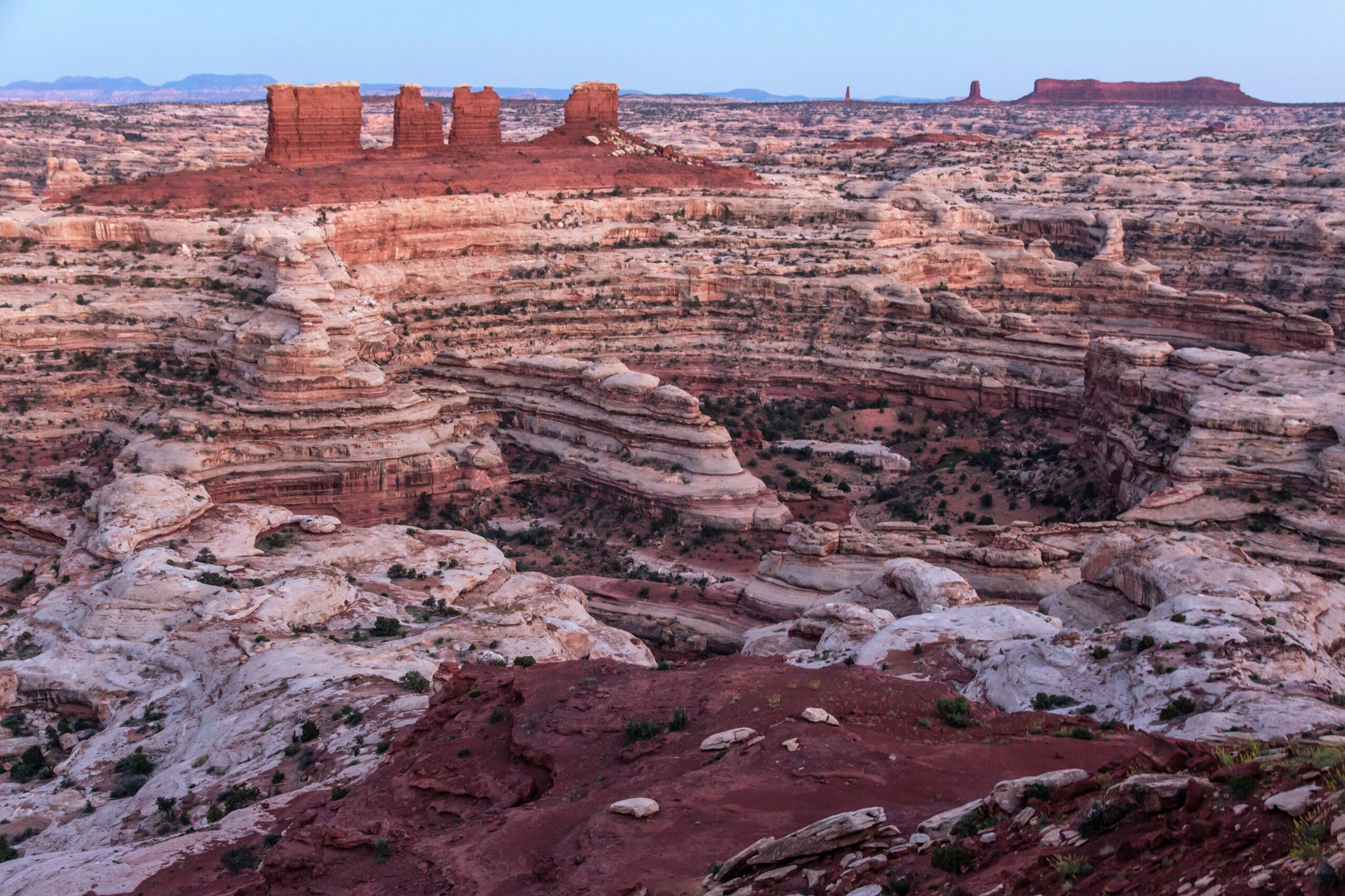
- Length: 8.4 miles
- Elevation gain: 928 feet
This trail guides you through a captivating landscape of unique geological formations known as “Chocolate Drops.” These distinctive rock towers rise from the desert floor and provide a chocolate-like color against the backdrop of the red rock scenery. As you traverse the trail, you are treated to breathtaking views of the surrounding canyons and mesas, making it a memorable experience for nature enthusiasts and photographers alike.
8. Shafer Trail
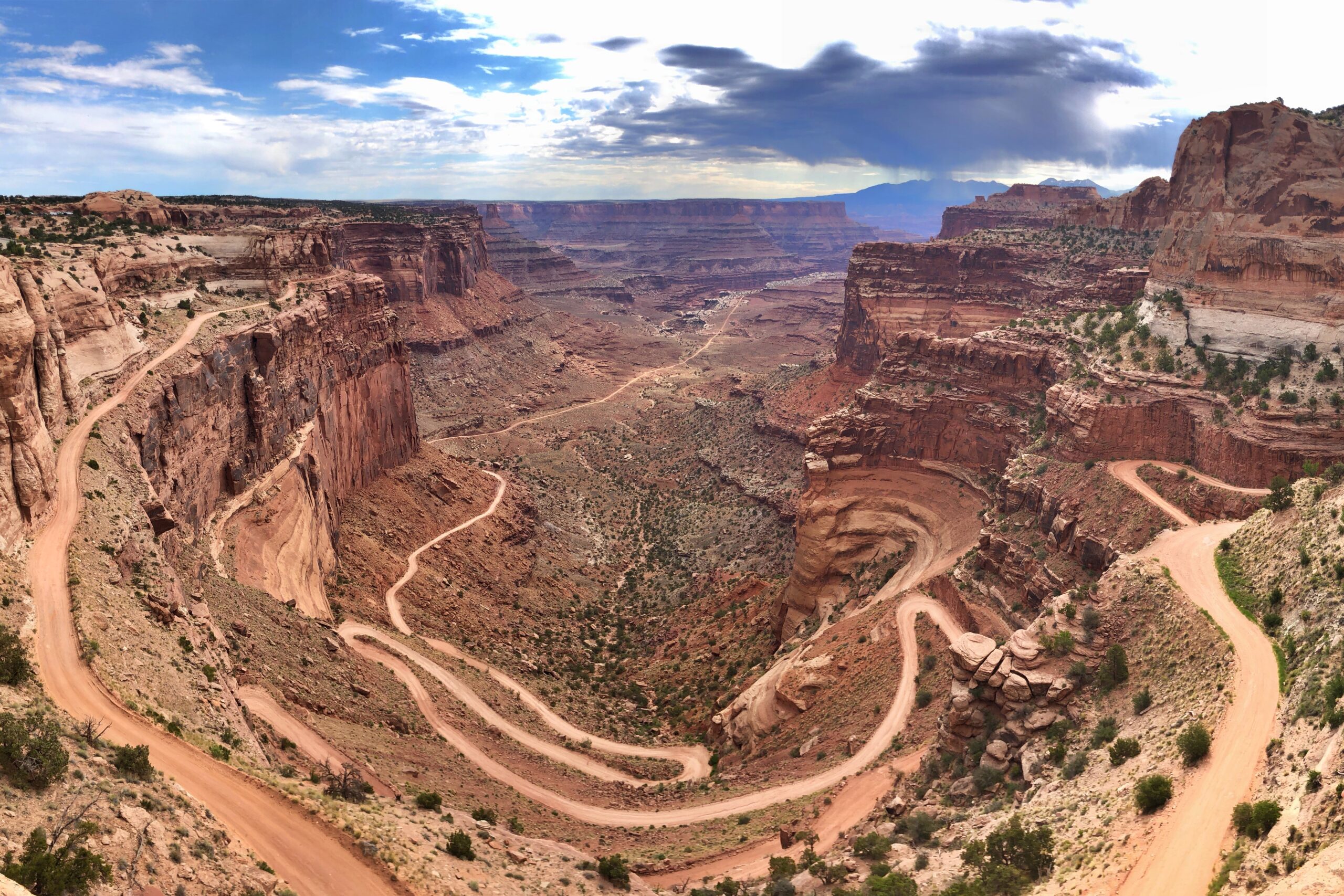
- Length: 18.3 miles
- Elevation gain: 1,151 feet
The Shafer Trail is a thrilling and scenic route that winds its way down the sheer cliffs of the Island in the Sky mesa. This rugged and adventurous trail offers breathtaking views of the surrounding canyons and the Colorado River below, providing an unforgettable experience for those seeking an overnight adventure and unparalleled vistas of the park’s dramatic landscape.

